
Volcanoes
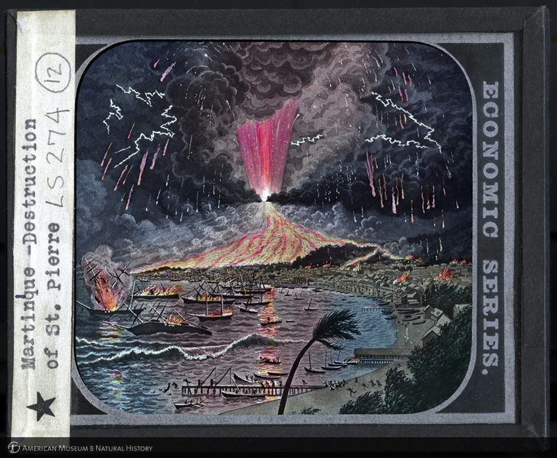
The destruction of Saint Pierre, Martinique, illustration on lantern slide.
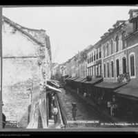
Rue Victor Hugo, principal business street, St. Pierre, Martinique, 1898.
This image shows a main street of St. Pierre the way it looked almost five years before the eruption of Mt. Pelée that caused the catastrophic destruction shown in images of 1902.
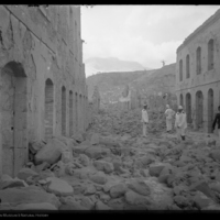
Looking north up Rue Victor Hugo, St. Pierre, Martinique, 1902.
This image, photographed by Museum geologist, Edmund Hovey, shows the same street as the one pictured in the image to the left after the volcanic eruption. Rue Victor Hugo is unrecognizable and covered in large rocks.
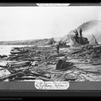
Beach near the lighthouse, St. Pierre, between 8 and 20 of May, 1902.
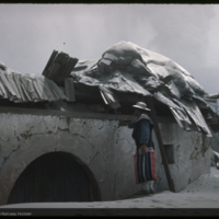
House buried almost to roof in ash, Paricutin, Mexico.
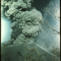
Explosive bursts of bombs and dust during day light, Paricutin, Mexico.
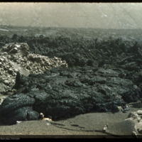
Frozen lava lake, Paricutin, Mexico.
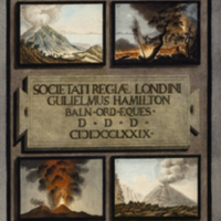
Frontispiece depicting several Vesuvius eruptions from Hamilton's 1779 Supplement to the Campi Phlegraei.
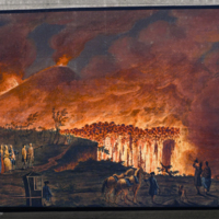
Hamilton observing Somma Vesuvius in full eruption from Hamilton's Campi Phlegraei: observations on the volcanos of the Two Sicilies.
On May 8th in 1902, St. Pierre, a city on the island of Martinique that was known as the Paris of the Caribbean, was completely destroyed by the nearby volcano, Mt. Pelée. A dense, swirling cloud of hot gases, volcanic ash, and rocks - known as nuée ardente (French for "burning cloud") - formed when the eruption column of the volcano collapsed downward. Moving at tremendous speed, it incinerated everything in its path. The volcanic flow spilled into the center of the city at about 300 miles per hour. The American Museum of Natural History sent curator Edmund Hovey, a geologist, to study the event. He collected haunting artifacts, many of which are on display in Nature’s Fury: The Science of Natural Disasters. The Museum Library's images of volcanoes, a sampling of which are seen in this Digital Special Collections exhibit, show the destruction following the 1902 volcanic eruption in St. Pierre, volcanic activity from the period of 1943 to 1950 in Paricutin, Mexico, and artwork from the Rare Book Collection depicting Mount Vesuvius in Italy in 1779.
To enlarge this or any image, and to see the accompanying information, simply click on an image or its title.